Carrier Qualification
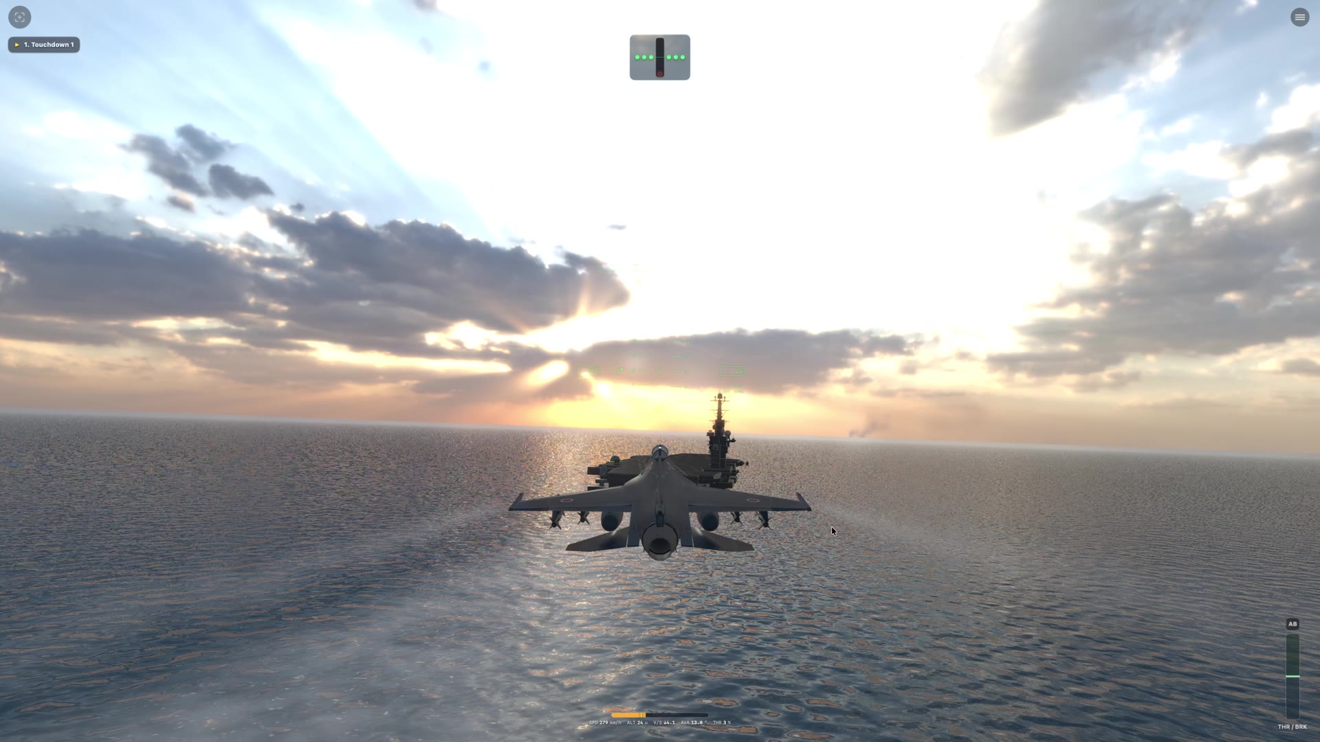
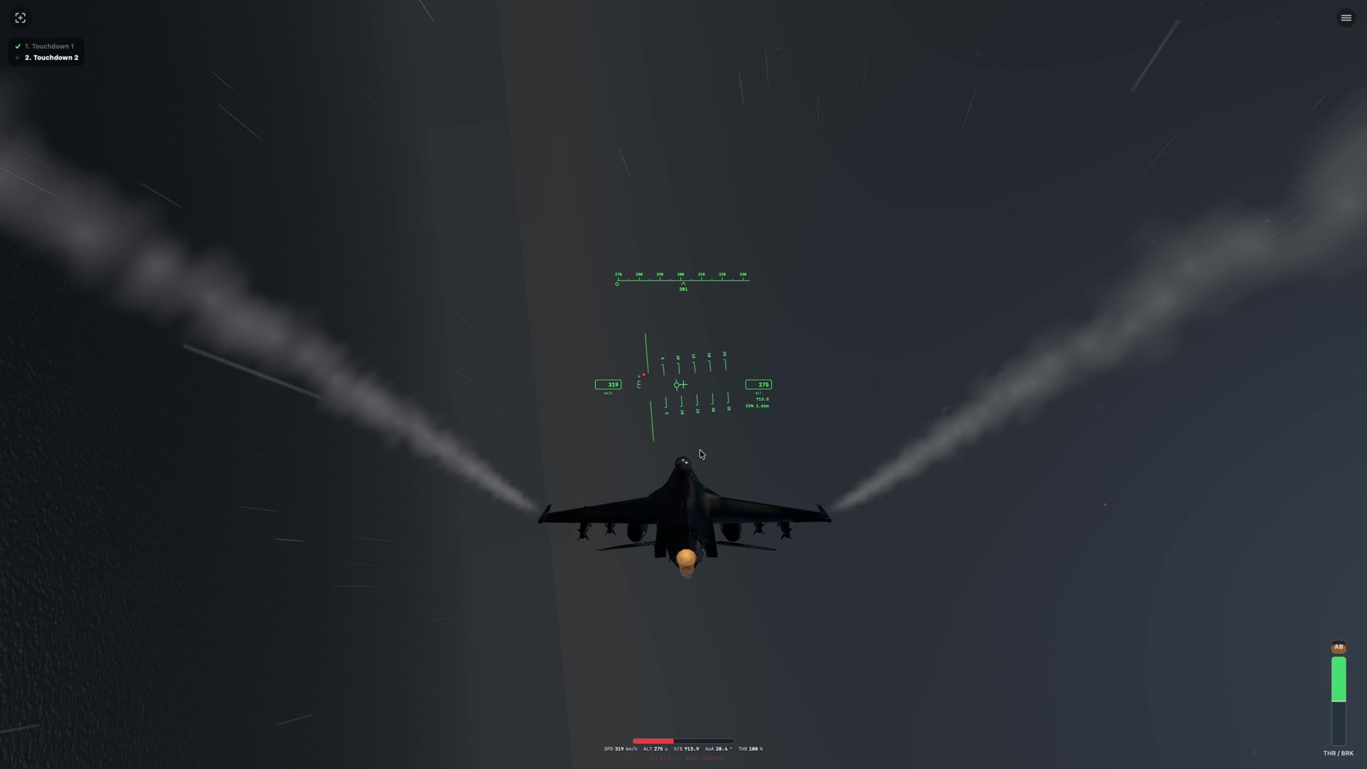
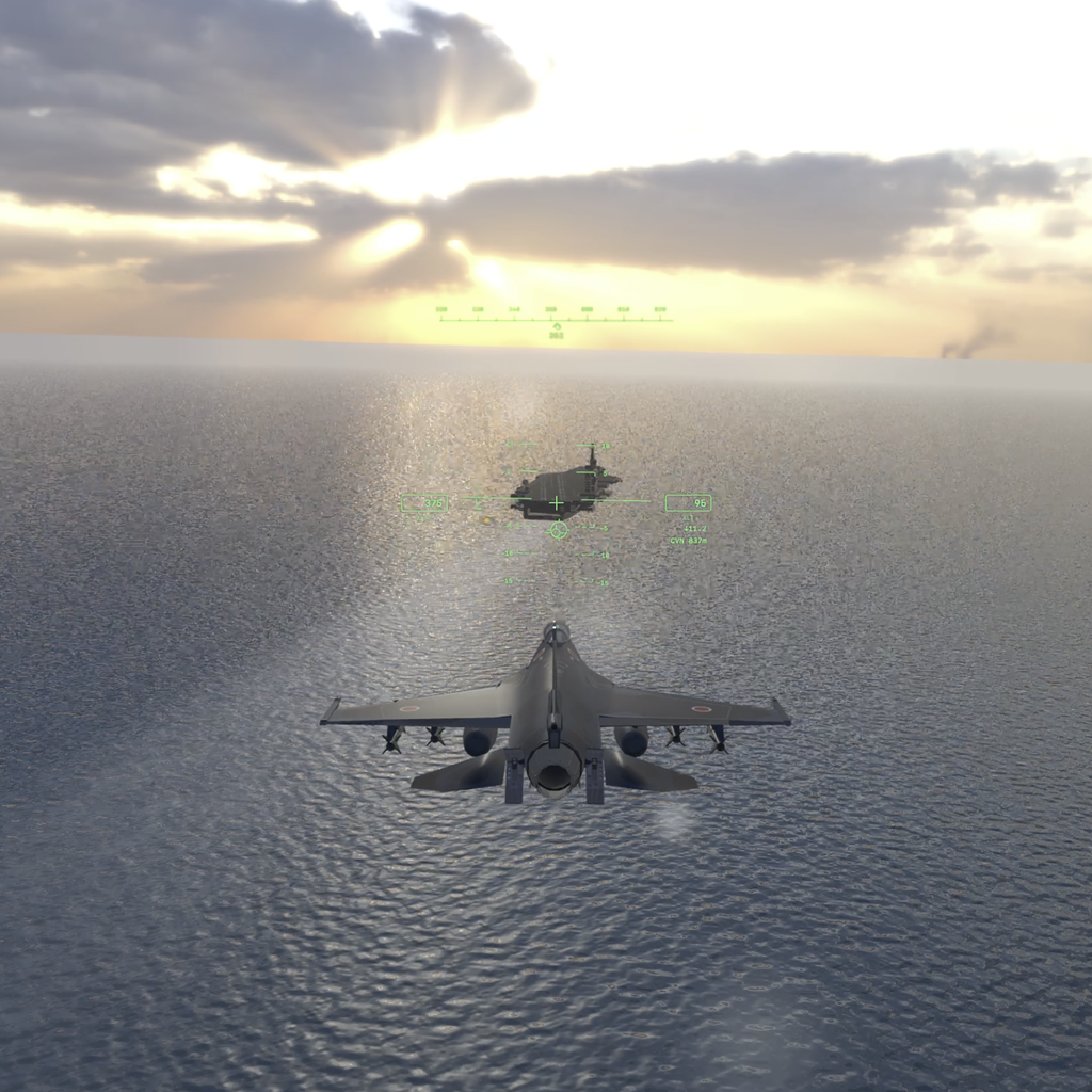
From calm-day approaches to crosswinds, night traps, touch-and-go, and a final exam flown on instruments alone — the discipline every landing demands.
NORMAL
HARD
ACE
 F-2 MISSIONS
REAL FLIGHT. REAL MISSIONS. FULL CONTROL.
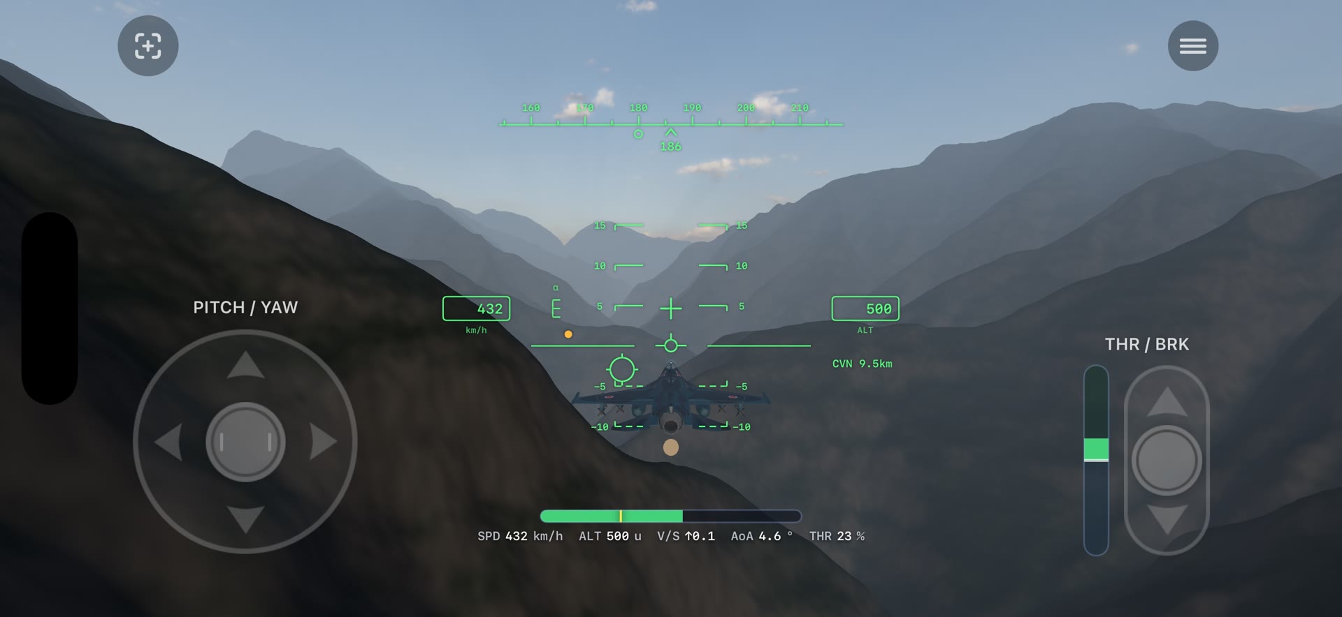
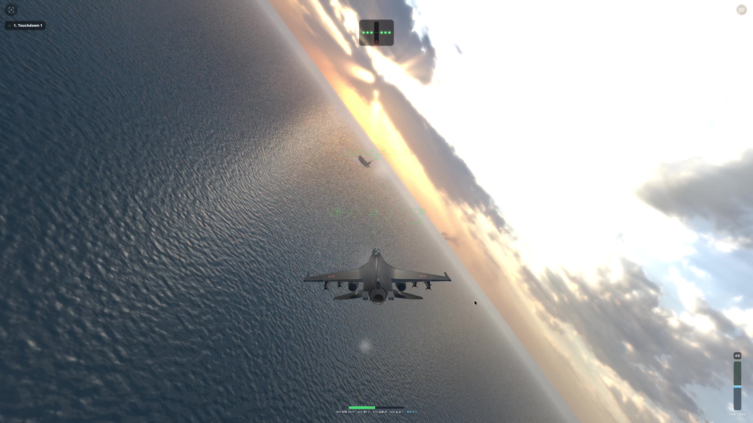
No system flies the jet for you. Built on an angle-of-attack point-mass flight model with true fly-by-wire feel, fly everything from a carrier approach and trap to a treetop run through a real Japanese gorge — on your stick alone.
The persistent state is body-axis angle of attack, not world pitch — back-pressure to hold a banked turn emerges straight from the equations of motion.
Hold the stick over for continuous roll; release it and the jet holds that attitude — inverted included. Control authority scales with dynamic pressure.
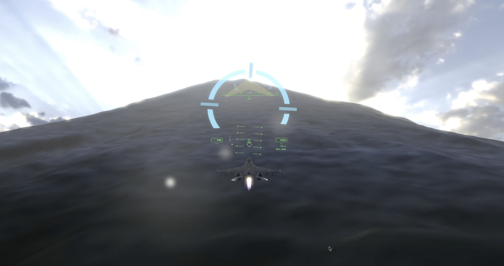
The meatball, steering cues, and gate rings guide you generously — but nothing ever touches the controls for you.
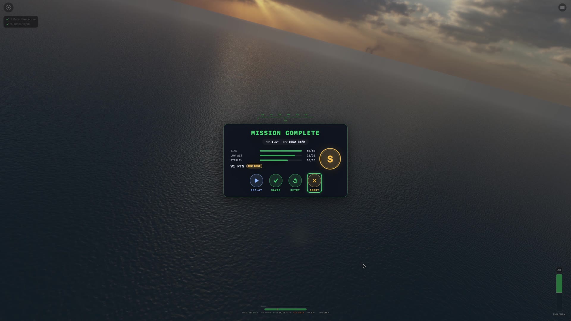
Every landing is graded 0–100, no mercy. Bolters and off-scale calls are judged exactly like the real thing — there's no faking a good pass.
From calm-day approaches to crosswinds, night traps, touch-and-go, and a final exam flown on instruments alone — the discipline every landing demands.
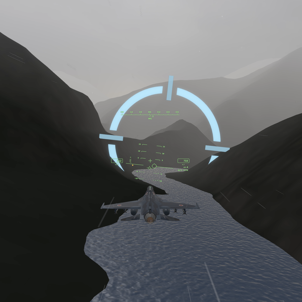
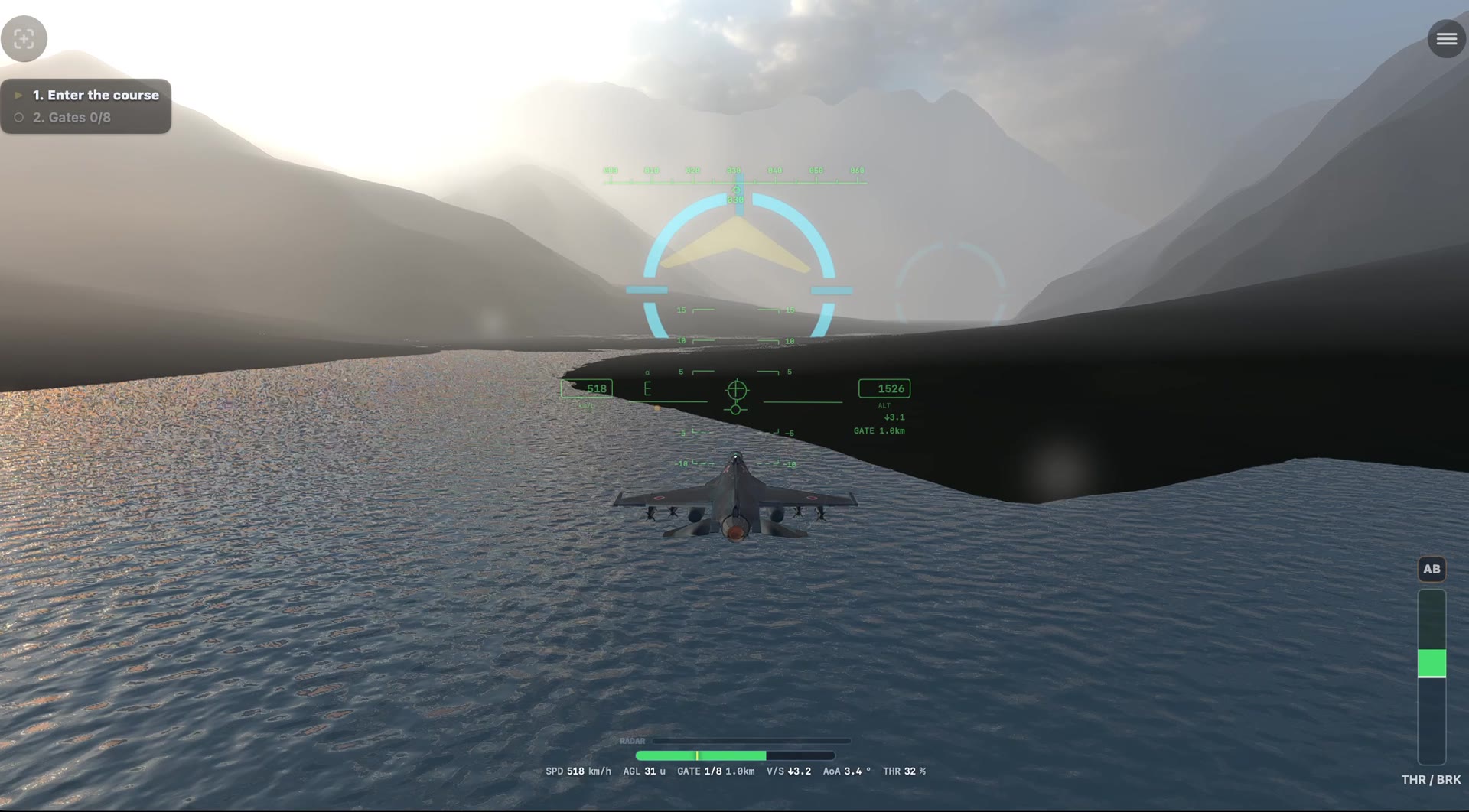
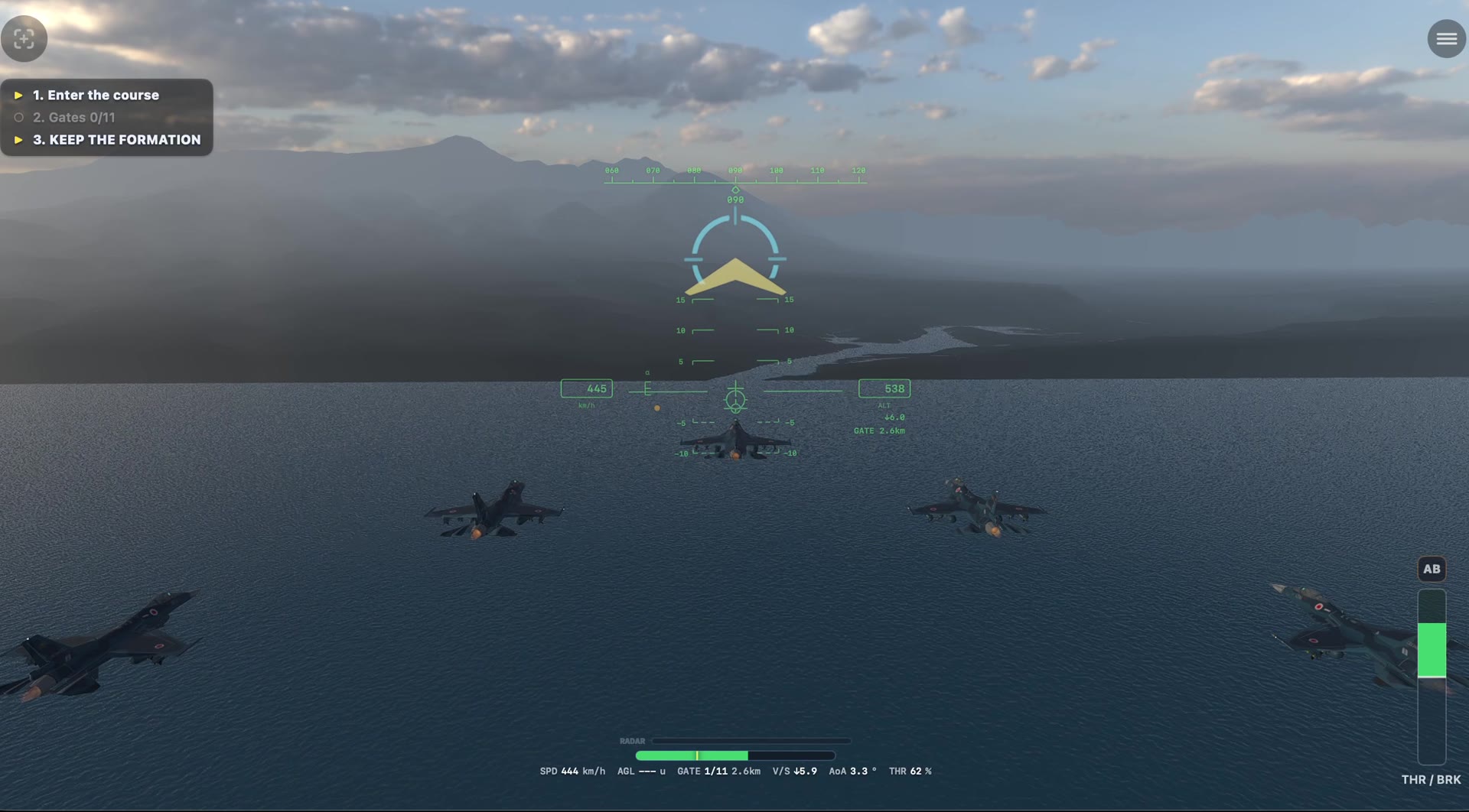
From open-ocean gate slaloms to low-level runs through real Japanese terrain — Kurobe Gorge, the Southern Alps, Mt. Fuji. Bank angle and spatial awareness, tested.
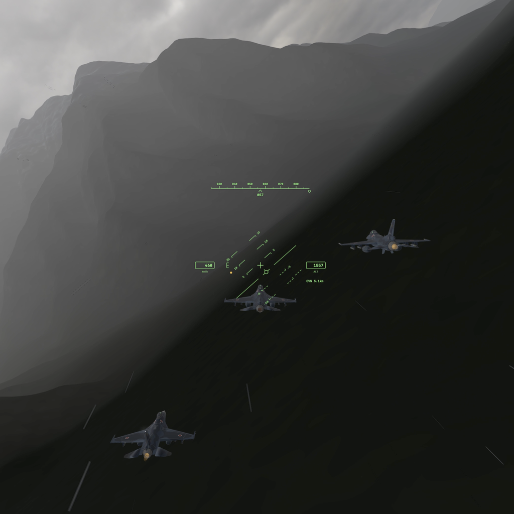
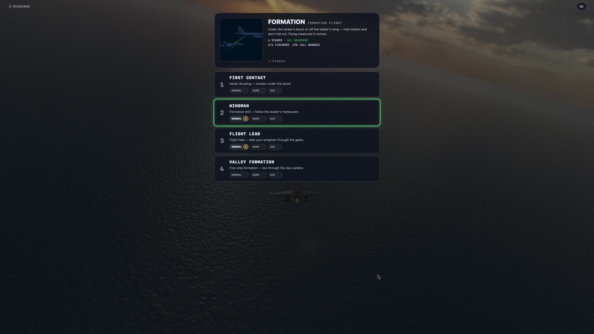
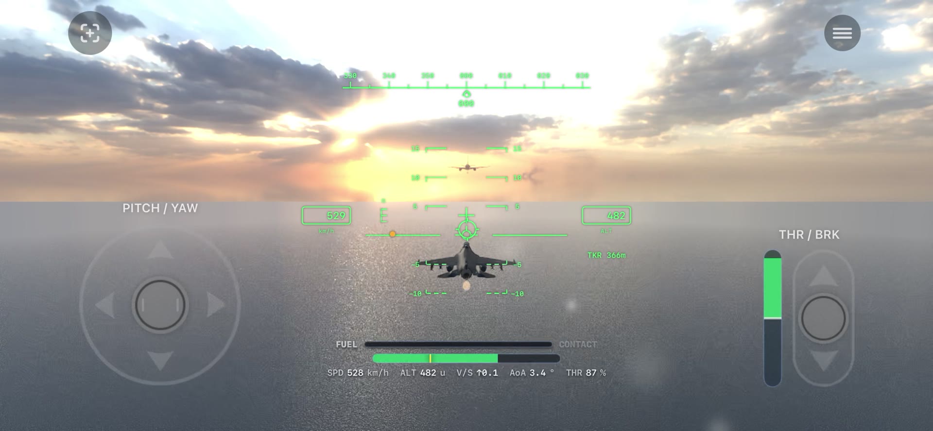
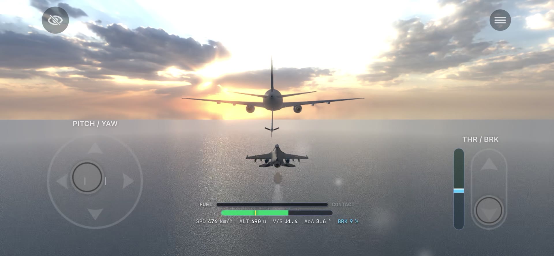
Hold position behind a tanker's boom, follow a lead's called-out maneuvers, or take the lead yourself with a wingman on your wing.
Stage lineup and count are still in development and may change before release.
Everything shown here reflects the current design, not a final specification.
Low-level infiltration missions built from the Geospatial Information Authority of Japan's 10m elevation tiles. Duck behind a ridge, bank with the river — the terrain itself is the route.
An entry-level infiltration run up a river valley from the coast.
The headwaters of the Ōi River. Steeper than Kurobe, climbing terrain throughout.
Kamikochi's Azusa River — start on the water at Lake Taisho and hug the walls of the Hotaka peaks.
A ~26-mile lap around the foot of Mt. Fuji, flown along its contour lines.
Terrain data: Geospatial Information Authority of Japan (GSI) elevation tiles.
The chart above is a stylized illustration of the flight paths, not a navigation reference.